
Features Legal Land Map - Field Names
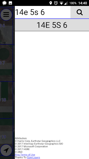
View legal land descriptions overlaid on a satellite map!Have a legal field name and need to find it?
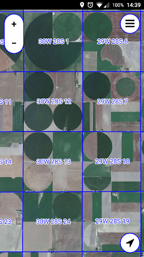
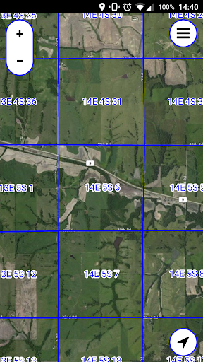
This is the app you need!NOTE: Please check the list of supported states below before purchasing.The PLSS (Public Land Survey System) is a system in which land is divided into rectangular townships and sections.This app displays legal section names (e.g.
"21W 13S 6") and borders, overlaid on a Bing satellite map.You can search for sections by their legal name.Supported States and Provinces:USA:ALAZARCACOFLIDILINIAKSLAMIMNMSMOMTNENVNMNDOH - PartialOKORSDUTWAWIWYCanada:ABBC (Not Searchable)MBON (Not Searchable)SK
Gaming Features
Enjoy immersive gaming experience with various game modes.
24/7 Support
Our dedicated support team is always ready to help you.
See the Legal Land Map - Field Names in Action
Get the App Today
Available for Android 8.0 and above